I wanted to share some stellar student work in my SS methods class. I asked them to use historic redlining map data base and 1940 census to research impact of segregation policy. Some researched their families, others the houses they lived in. Other creative responses as well.
They loved the assignment.
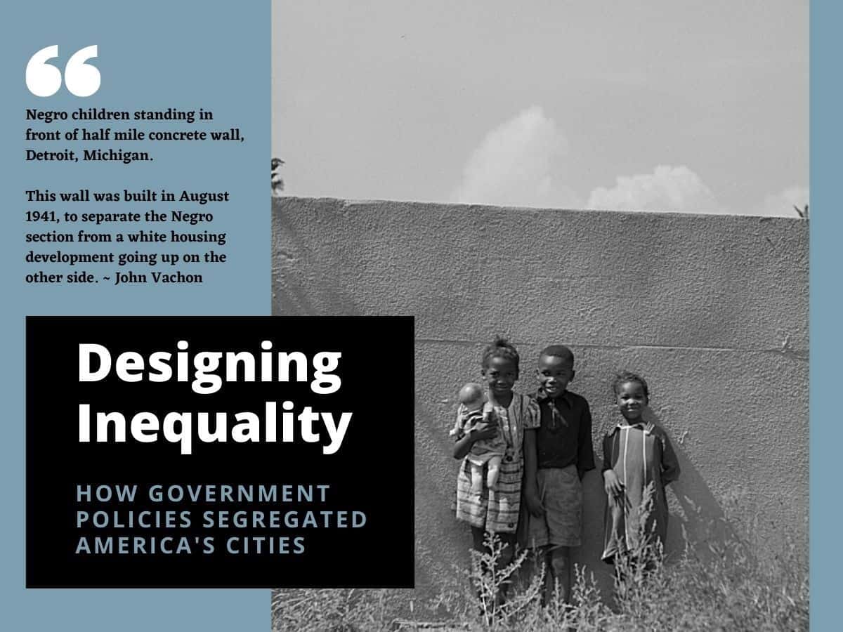
Here's how my students used historical redlining maps and the 1940 Census to make a personal connection with government policies that fostered inequality and segregated nearly every major American city. Resources, how-to and sample student projects. https://peterpappas.com/2020/11/mapping-inequality-exploring-personal-history-in-redline-maps-and-the-1940-census.html redlining Census
Testimonials
- I love that there is new info on the site daily!
- I had a wonderful time working with the Library of Congress and learning about all of the resources at my fingertips!
- The TPS Teachers Network has an equal exchange of ideas. You know it's not a place where you're being judged.
- My colleagues post incredibly fine resources and ideas....the caliber of the suggestions and resources make me feel that I take a lot from it. It's a takeaway. And I hope that I can give back as much as I get.
- Going into this school year, I have a fantastic new resource for my own instruction and to share with my colleagues!
- I am very glad that I discovered the TPS Teachers Network through RQI. Great resources can be hard to find out there on the internet!

